WILLEMSTAD – The Department of Environment and Nature (MNB) of the Ministry of Health, Environment and Nature (GMN) has announced that LiDAR investigation flights will continue from May 15 through May 17 in several areas of Curaçao.
According to the ministry, the project had previously been temporarily paused because of heavy air traffic activity in the area. With those conditions now resolved, the drone operations will resume in the neighborhoods of Buena Vista, Suffisant, and Sunset Heights.
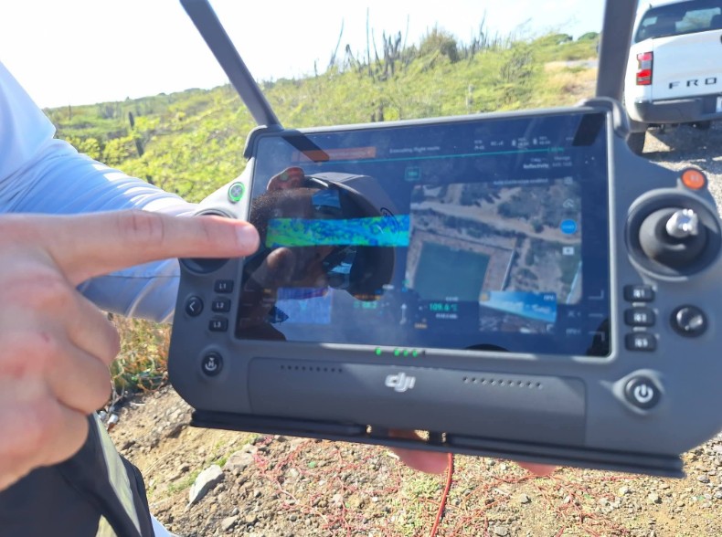
LiDAR — short for Light Detection and Ranging — is a technology that uses laser measurements to calculate distances, terrain elevation, and surface characteristics with high precision.
The ministry explained that the drone flights are essential for collecting accurate data used in water management, flood-risk analysis, and spatial planning across the island.
Authorities emphasized that cooperation from residents is important to ensure the investigation can continue safely and successfully during the indicated days.
GMN thanked the public in advance for its understanding and cooperation.
LiDAR technology has increasingly become an important tool worldwide for environmental monitoring, urban planning, climate adaptation, and disaster-risk management because of its ability to create highly detailed topographic maps and terrain models.